Top-Rock
Depth Mapping to top of Bedrock

YOU BRING
Seismic shot gathers from 2D or 3D surveys.
YOU GET
3D Surface or 2D line in T-SURF and/or DXF format.
WE BRING EXPERT HUMANS
• Hiseis hard-rock seismic processing team
WITH EXPERT SYSTEMS
• Seismic refraction tomography
• Near-surface velocity model-building
WHAT IS TOP-ROCK?
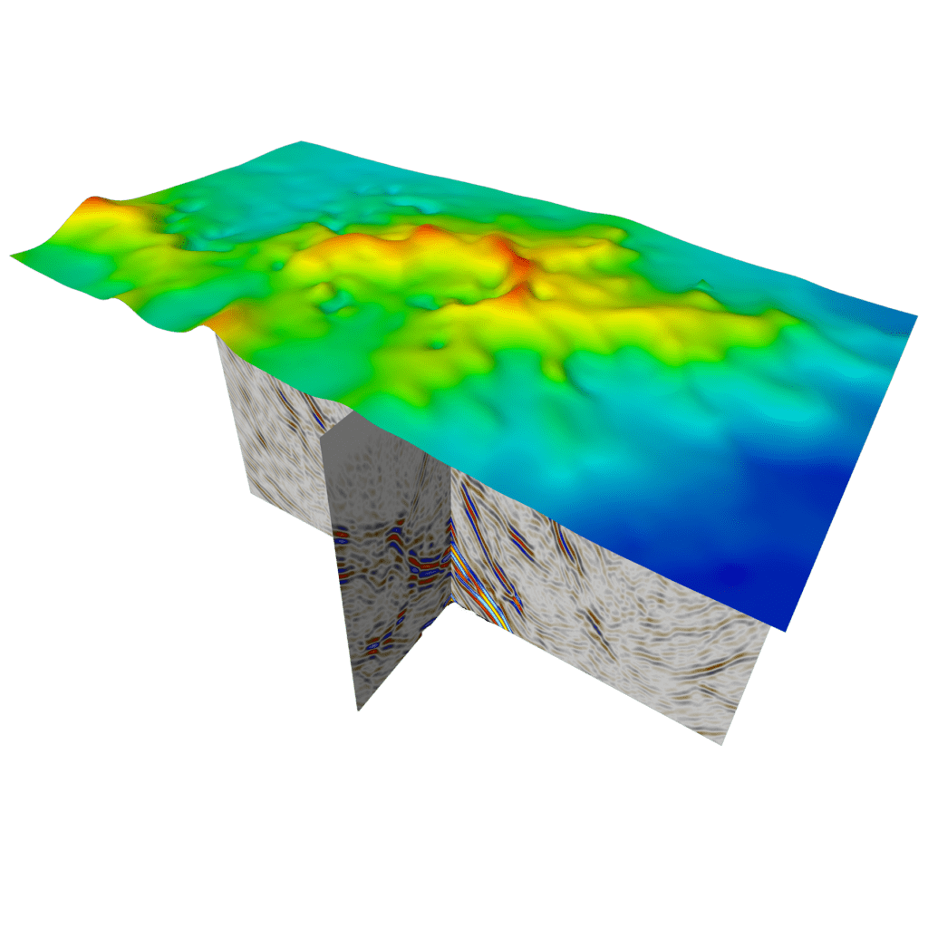
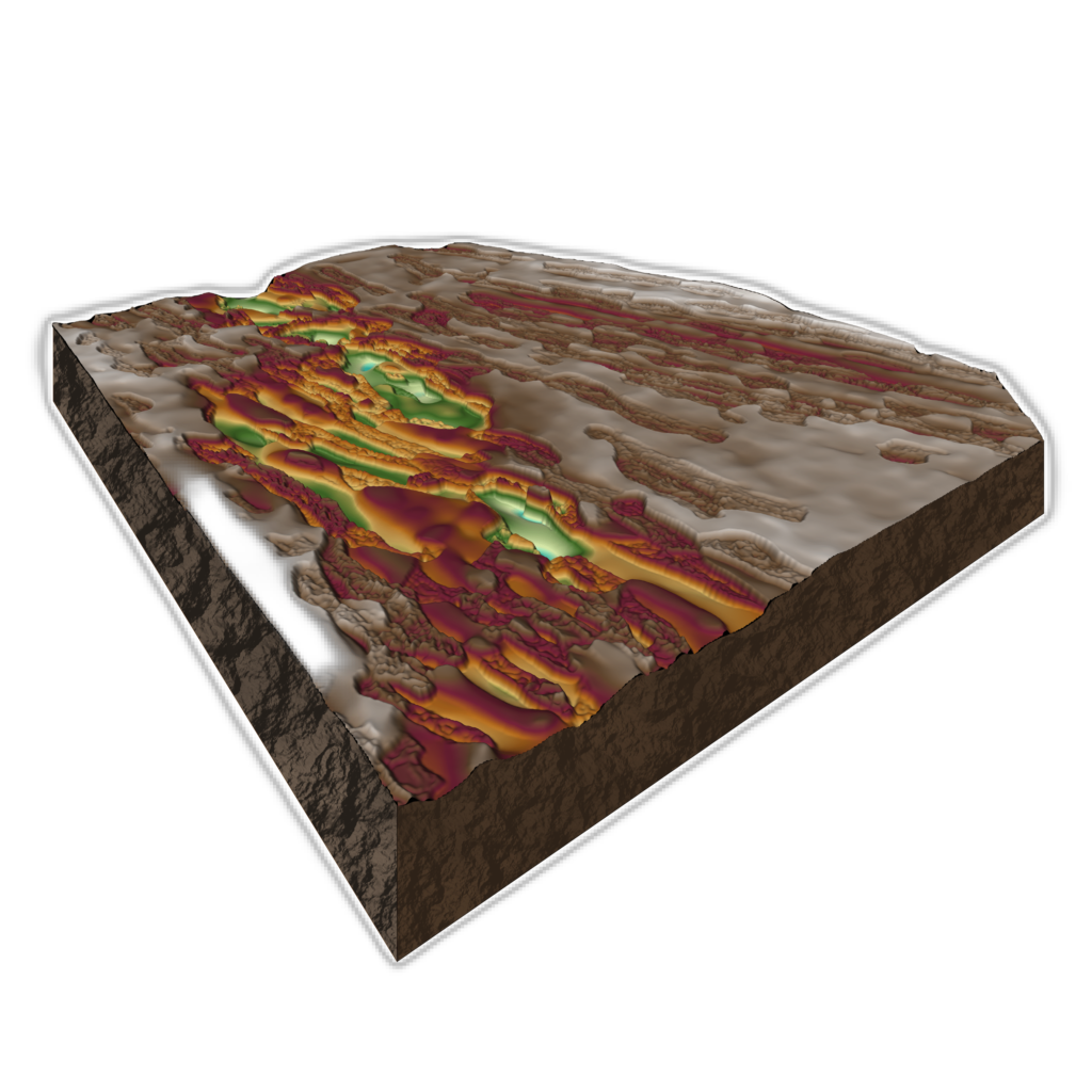
TOP-ROCK utilises seismic refraction tomography to generate a detailed 3D model of the near-surface velocity variations within a project area. This data can be generated directly from a seismic dataset or can be further optimised through calibration with available drilling. The output wireframe can identify vertical changes in the near-surface velocity down to a few metres of resolution.
WHY IS THIS IMPORTANT FOR EXPLORATION?
Velocity variations in the near surface are directly related to seismic rock competency and hence, a detailed map of the velocity field provides a high-resolution map of near surface conditions, highlighting key features such as the position of depositional structures, alteration and bedrock lithology changes.
WHY THIS IS IMPORTANT FOR GEOTECHNICAL?
TOP-ROCK can define the extent of free-dig material and provide important input for the design of pit-wall slopes, infrastructure placement and engineering specifications.
WHY THIS IS IMPORTANT FOR ORE RECOVERY?
TOP-ROCK can help define the extent of oxide material and produces a physical wireframe to assist in analysis and calculation of ore recovery.
WHY IS THIS IMPORTANT FOR HYDROGEOLOGY?
TOP-ROCK can help define the extent of oxide material and produces a physical wireframe to assist in analysis and calculation of ore recovery.
Look ahead of the drill bit
Map depth of regolith to optimise drilling operations.
We can’t predict your future
but we can help you see underground.